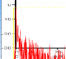
Below we see that the black y-axis of the map is slightly to the right of the vertical yellow line. This is because the software searches about 1 millisecond to the right of the yellow time limit line to find the maximum and it then moves the picture to this maximum. This is because the y-axis of the early reflections-picture should line up directly on the maximum level as shown in the picture below and not before the maximum level.
 Contents
 Index
Index Search
 Previous
 Next
Next